About Scenic Rim

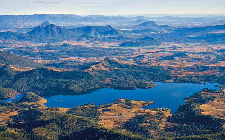
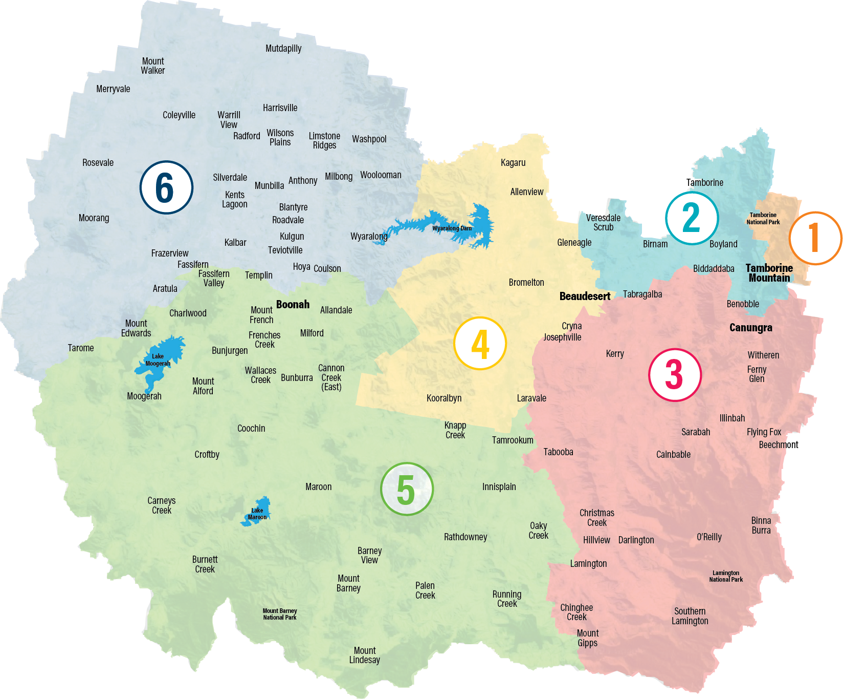
The Scenic Rim region is a thriving rural paradise set in the foothills of the Great Dividing Range and surrounded by World Heritage-listed national parks. Home to a population of more than 40,000 the region covers 4254sq km and is located an hour south of Brisbane and an hour inland from the Gold Coast.
Scenic Rim Regional Council acknowledges the traditional country of the Mununjali, Wangerriburra and Ugarapul Peoples of the Scenic Rim.
Our Acknowledgement of Country can be seen here.
Known for its breathtaking scenery, it is a popular tourist destination offering visitors plenty to see and do. From its myriad of wineries and art galleries to expansive bushwalking tracks, state of the art equine facilities, growing rural communities and friendly country charm, the Scenic Rim region is a must-see destination.
Its main towns and villages are: Beaudesert, Boonah, Tamborine Mountain, Kooralbyn, Beechmont, Kalbar, Aratula, Canungra, Rathdowney, Harrisville and Peak Crossing.
The region's primary businesses are agricultural/horticultural production, the equine industry and tourism/ecotourism.
The Scenic Rim region contains more than 30,000 hectares of parkland, including national parks and council controlled parks. The region also contains three dams: Lake Moogerah, Lake Maroon and Lake Wyaralong.
Supported by a thriving economy, a farming industry and a vibrant arts community, the Scenic Rim has a strong community spirit and friendly locals.

