Funding boost aims to reduce region's flood risks
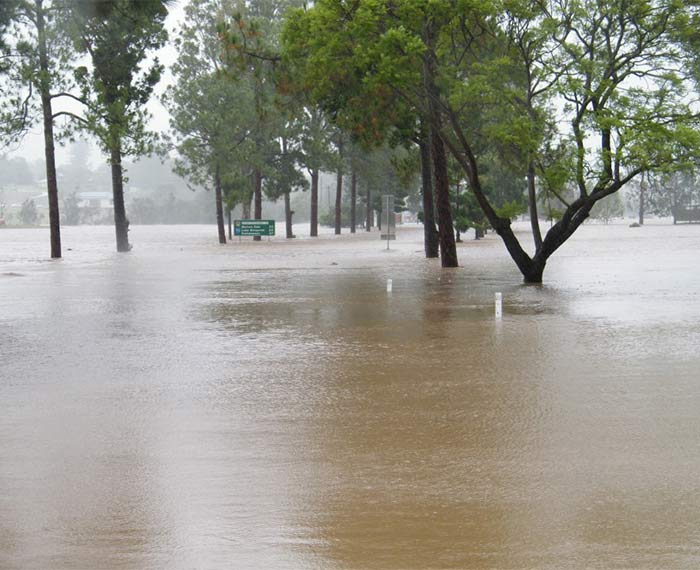
The Scenic Rim will be better prepared to deal with the impacts of intense rain events following the Queensland Reconstruction Authority's funding approval of $637,000 for eight projects aimed at reducing the region's flood risks.
Acknowledged at Council's recent Ordinary Meeting, the support from the Flood Risk Management Program, jointly funded by the Australian and Queensland governments under the Disaster Recovery Funding Arrangements, will enable Council to undertake a detailed analysis of all potential sources of risk to support its preparations for widespread flooding.
Mayor Greg Christensen said that, in line with the 2011 Queensland Floods Commission of Inquiry's recommendation that councils develop floodplain management plans, Scenic Rim Regional Council has worked to enhance flood modelling to inform its planning and invested in the improved resilience of local infrastructure.
"As the Scenic Rim sits at the headwaters of a number of catchments, intense rain events result in rapid stream rises in our region," he said.
"We need improved data on the potential impacts of rainfall and river heights and our success in securing funding for this means we will be in a better position to understand the impacts of a range of rain events in each catchment.
"Council will be able to provide more information to the community before, during and after flood events as a result of funding for flood studies, mapping of critical infrastructure and the development of a Flood Intelligence Strategy."
The Flood Intelligence Strategy will see the development of schematic catchment plans identifying the location of existing rainfall and river height gauges and the corresponding locations that will be impacted downstream during intense rain events.
Flood modelling of five creeks - the Logan River, Purga Creek, Albert River, Warrill Creek and Teviot Brook - will improve Council's understanding of flooding in the Scenic Rim.
Critical Council infrastructure, including community places refuge, will be identified and mapped to enable forecasting of flood impacts.
Council's incident management system will also be enhanced through the addition of information on flooding and flood gauges.
"Flood studies have previously been carried out by Council in all catchments and we are continuing to refine these studies," Mayor Christensen said.
"With the support of the Australian and Queensland governments, Council continues to enhance its ability to understand and respond to rainfall events and subsequent flooding within the Scenic Rim region.
"Working with the Queensland Reconstruction Authority, we have maximised use of the Disaster Relief Funding Arrangements, combined with Council’s own funds, to further our understanding of floods and reduce the risks for our community."